Bhaktapur is the smallest district of Nepal and a part of Kathmandu Valley, which occupies
an area of 119 km². It is located in the region between the northern latitude of 27°36′-27°44′
and the eastern longitude of 85°21′-85°32′. The length of east-west of this district is 16 km.
Newly formed Changunarayan municipality is a municipality located in Bhaktapur district in
Bagmati zone under the Central-development-region of Nepal. The maximum height of the
municipality is 1372 m to 2191 m from the sea level. The municipality has Mandan Deupur
municipality in the east (Kavre), Kageswori Manahara municipality in the west Kathmandu
and Madhyapur Thimi municipality), Sankharapur municipality in the north (Kathmandu)
and Suryabinayak municipality on the west (Bhaktapur). The Changunarayan municipality
was formed by combining four village development committees, namely Changunarayan,
Jhaukhel, Duwakot and Challing when 61 new municipalities were announced by municipal
development ministry of Nepal in 2015. And again, in 2017, the Nagarkot municipality has
been merged in this municipality. The nomination of this municipality has been named as the
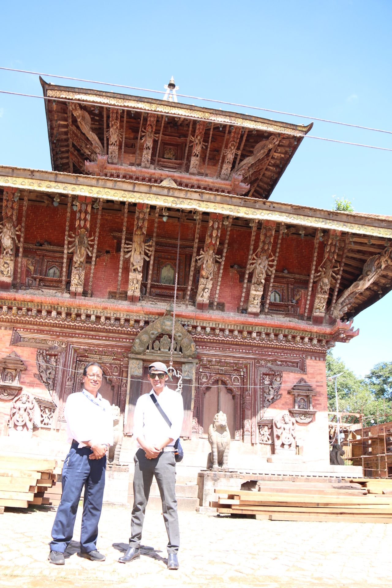
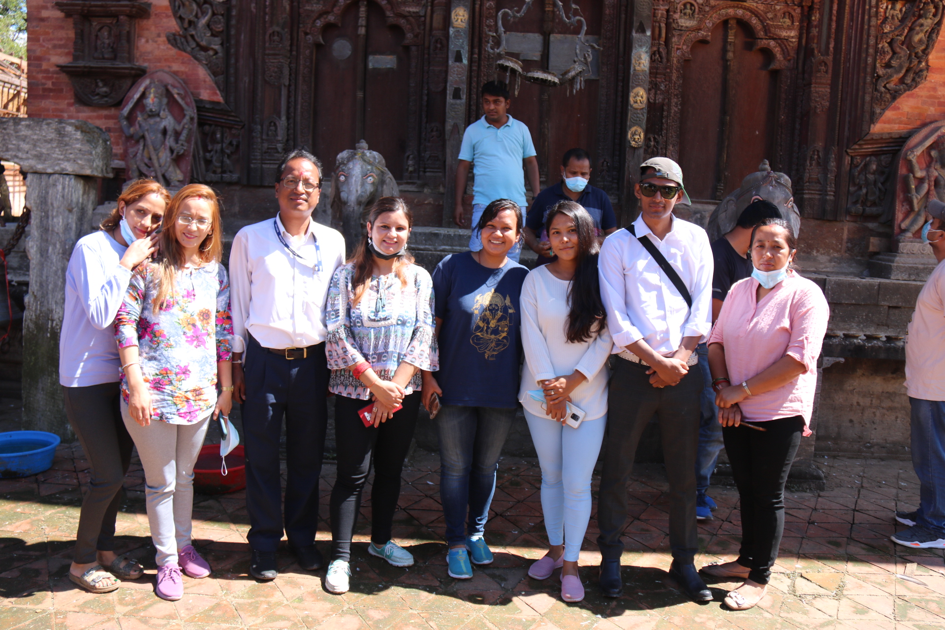
Changunarayan temple of the oldest Pagoda style of the valley, which is a landmark area of
62.98 square km. The municipality has the total area 62.98km². Changunarayan area is
enlisted in UNESCO World Heritage Sites and is one of a popular tourist destination rural
area which I chose for the study. Here, most of the people involved in agricultural activities.
The total population of Changunarayan municipality is 55430 where female’s population is
28478 and male’s population is 26992. There are 12170 household numbers in 9 wards of
Changunarayan municipality.